
“How come the lights went on before he clapped?”
What is the DOJ and the FBI hiding?
911 emergency call system could soon be routed through RUSSIAN satellites, giving Putin’s government the power to snoop and interfere with first responders
- Russia’s own GPS system covers more ground than US satellites, so wireless phone companies want to leverage it to help locate 911 callers
- Rep. Mike Rogers, an Alabama Republican, is furious and says the move could give signals intelligence to an antagonistic Russian Federation
- ‘GLONASS’ is a Russian satellite network that has been able to see the whole planet since 1995
- Part of its software crashed for a half-day last April, generating navigation signals that were off by as much as 50 kilometersBy
David Martosko, U.S. Political Editor for The Daily Mail
January 22, 2015
U.S. astronauts are already blasting off to the International Space Station on Russian rockets. But now the Federal Communications Commission is weighing a plan to use Moscow-based satellites to route America’s 911 emergency phone calls.
Congressional Republicans, already skittish about trusting the Vladimir Putin regime as it airs its expansionist desires through Europe, fear the Russian leader would gain access to real-time information about emergency responders in every corner of the United States.
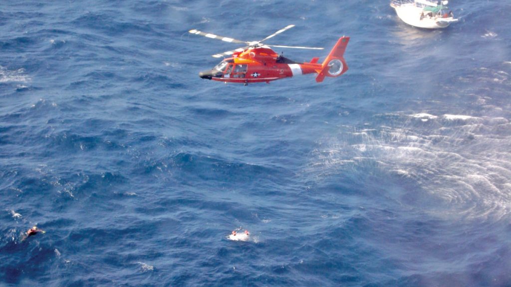
That data, piped through Russia’s GLONASS precision navigation and timing satellite system, already allows police, fire and rescue crews to pinpoint cellphone callers’ locations.
National security alarms are going off, and they’re as loud as fire bells.
Alabama Republican Rep. Mike Rogers, who chairs am Armed Services subcommittee on strategic forces, wrote to warn Defense Secretary Chuck Hagel and Director of National Intelligence James Clapper.
‘In view of the threat posed to the world by Russia’s Vladimir Putin, it cannot be seriously considered that the U.S. would rely on a system in that dictator’s control for its wireless 911 location capability,’ Rogers wrote, in a letter first reporter by The Washington Times.
‘Our response to Russia’s hybrid warfare, arms control cheating, illegal invasions of sovereign nations, and energy-based extortion must be broad-based isolation and counter-leverage.’
A trade group that worked on the plan with major wireless phone carriers – including AT&T Mobility, Sprint, T-Mobile USA and Verizon – disagrees.
Trey Fogarty, government affairs director at the National Emergency Number Association, said there’s no American satellite system that can cover enough ground on its own without help from GLONASS.
His group worked with the companies and the Association of Public Safety Communications Officials (APSCO) to develop a way to give police, firefighters and medics better tools to locate people in time to help them when seconds count.
‘Our view is that we ought to be leveraging anything that is available to find someone in an emergency,’ Fogarty told the Times.
APSCO says Rep. Rogers is overreacting based on ‘plainly false statements that stretch the imagination to try to make a case that the roadmap’s inclusion of GLONASS for location determination presents a security threat.’
That stark condemnation came from the association’s government relations chief, Jeffrey Cohen, in a Dec. 24 letter to the FCC.
GLONASS itself is an alternative GPS system operated by 24 satellites, with 4 more planned. In April 2014 the entire system went offline for a half-day, leading everyone from Russian military planes to commercial shippers to generate incorrect location data – which was in some cases off by more than 50 kilometers.
Russia Today, a state-funded news outlet, reports that Moscow began developing GLONASS in 1976 and reached the point where it could cover the entire planet’s surface in 1995.
A total of 19 ground stations collect satellite data for consumer applications, providing signals with accuracy up to one meter.
‘Three more stations are located in the Antarctic and one in Brazil,’ according to RT, ‘with two more to be constructed in Kazakhstan and one in Belarus.’
Yesterday SU-25 fighter jets carried test modules over the skies of northern Kyrgyzstan on practice runs to demonstrate its military applications.
It’s the largest and only comprehensive GPS-workalike system in existence, according to Russian media outlets, which also report that its underlying technology has been shared with North Korea and Belarus.
Sprint said it aims to minimize the degree to which American companies rely on the Russian satellites.
‘The roadmap does not envision that carriers will rely exclusively on the GLONASS system,’ the company’s government affairs director Ray Rothermel wrote on Dec. 24 to FCC officials.
‘Rather, the roadmap advocates taking advantage of a tool that is available now to allow carriers to improve location information.’
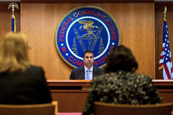
The FCC has the authority to green-light or spike the proposal, but hasn’t chosen a path forward yet. A January 29 meeting, however, could bring the issue to a head.
Retired Rear Admiral David Simpson, chief of the FCC’s Public Safety and Homeland Security Bureau, said his agency is ‘committed to protecting both public safety and national security as we continue to examine the input and issues in the proceeding, and will coordinate with our colleagues across the government to ensure that national security needs are addressed.’
The Pentagon has found itself blind-sided in the past by concerns about handing Russia the keys to U.S.-based signals intelligence.
In 2013 the State Department said it was considering giving Roscomos – the Russian space agency – clearance to erect six buildings in the U.S. outfitted with with antennas and signal processing electronics.
Members of Congress were outraged and wrote special language into the 2014 National Defense Authorization Act forbidding such deals with foreign nations.
‘911, what’s your emergency?’ Russian satellites may run U.S. safety system
Risks of sabotage, espionage too high for some lawmakersA
FCC weighs plan to use Russian satellite network for 911 system, raising security concerns


